Unlocking the power of cartography design
Looking for a custom map design service that transforms ideas into visually stunning maps? At MapDeviser, we specialize in unlocking the boundless possibilities of cartography design, creating maps that are both informative and beautiful. Whether you’re designing for tourism, real estate, or logistics, we bring your vision to life through custom, data-driven design.
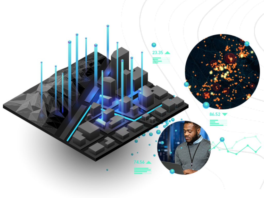
Unlocking the power of cartography design
Unlocking the boundless possibilities of cartography design, we specialize in creating custom maps that are not only Informative but also visually stunning, bringing your ideas to reality.

Design Custom Maps that Bring Your Concept to Reality with Precision and Artistry, Navigating the World of Map Making.
Custom Map Design
GIS Data Visualizations
Map Illustrations
Geospatial Solutions
Have an idea or an epic project in mind?
Upwork TOP RATED PLUS Freelancer


Empower your mapping projects with Resent's portfolio, Which featires easy-to-use maps and robust developer resources

GIS Data Visualization

Custom Map Designs

Map Illustrations

Geospatial Solutions
Real Words from Real Clients
“
Christina Haywood

He did an excellent job. Beautiful, unique maps. Worked through revision requests delivered all the files on time, and, most importantly, designed beautiful maps.
Digital Succession Partners LLC

Kushan did GREAT work and we will use him whenever we need google earth mapping work!
Brian F

He executed our vision perfectly and efficiently. We look forward to working with him again.
Ayomide Okunade

Kushan is a great designer, delivers on time and is very responsive. I would definitely recommend!
Carla Gulesserian

Kushan is a great person to work with. Very quick and skillful, would definitely recommend to anyone!
Carla Gulesserian

Kushan was communicative and very accommodating. He did great work at a reasonable price. Highly recommend!
Ben Moerman

Kushan is very detailed oriented and did a great job creating a complex map figure. I recommend his services. He is a great mapping guy. Very quick.
Jeff Janda

Second time working with him, always a good experience!
Alessandro

Great work done in a timely manner, thank you!
Tabatha Johnson

Resources & Articles
- All Post
- Data Sources
- GIS
- Mapping



Kushan produced excellent maps for me. This was not complex project. But it has to be said that his work was high standard. Kushan is a very organized and punctual worker.